
01
The 6.6-Million-Acre District
TTCD encompasses over 6.6 million acres in the West Cook Inlet region, stretching from wild coastal watersheds to mountain ranges.
Conservation, natural resource stewardship, and subsistence protection across 6.6 million acres of Western Cook Inlet salmon streams, boreal forests, and tribal lands.
Tyonek Tribal Conservation District supports tribally-led conservation and resource management projects over 6.6 million acres near Tyonek, Alaska. Boundaries align with Game Management Unit 16B.
Explore live GIS feature layers extracted directly from TTCD's ArcGIS Feature Services across 6.6 million acres in Western Cook Inlet.
All spatial layers powering TTCD's web map are extracted from authoritative ArcGIS Feature Services and made available for public GIS reference, hydrology studies, and tribal partners.
13 verified culvert replacement projects with exact coordinates, stream miles reopened, lake acres reconnected, and salmon species.
25 continuous water temperature logging sites across District rivers tracking climate resilience and salmon thermal refugia.
60 juvenile salmonid minnow-trapping stations across Indian Creek, Tyonek Creek, and regional tributaries.
4 major lake complex projects (including Threemile Lake Complex) with 7,938+ pike removed and documented recovery.
Spatial records of 23 northern pike infested lakes and 17 stream corridors under active monitoring and gillnet suppression.
1+ acre solar-powered high tunnel farm boundary, soil health infrastructure, and season extension production rows.
260 miles of remote gravel roads and resource access corridors across Game Management Unit 16B.
Full 6.6-million-acre boundary polygon aligning with Game Management Unit 16B from the Alaska Range to Cook Inlet.
Published data from TTCD's official GIS records documenting stream crossings replaced with fish-friendly arch culverts and bridges across Western Cook Inlet.
| # | Waterbody | Crossing Descriptor | Year | Stream Miles | Lake Acres | Target Species |
|---|---|---|---|---|---|---|
| 1 | Indian Creek | Middle Indian Creek | 2012 | 2.4 mi | 27.7 ac | Coho (Silver)Pink (Humpy) |
| 2 | Tyonek Creek | Middle Tyonek Creek | 2014 | 14.2 mi | 13.13 ac | Coho (Silver)Pink (Humpy) |
| 3 | Old Tyonek Creek (Roberts Creek) | Middle Old Tyonek Creek | 2015 | 10.4 mi | 6.2 ac | Coho (Silver)Chinook (King)Pink (Humpy)Eulachon (Hooligan) |
| 4 | Indian Creek | Upper Indian Creek | 2017 | 1.4 mi | — | Coho (Silver)Pink (Humpy) |
| 5 | Bunka Lake Outlet | Indian Creek Tributary | 2017 | 0.6 mi | 82 ac | Coho (Silver)Pink (Humpy) |
| 6 | Indian Creek | Lower Indian Creek | 2018 | 5.7 mi | 94 ac | Coho (Silver)Pink (Humpy) |
| 7 | Old Tyonek Creek (Roberts Creek) | Congabuna Outlet Old Tyonek Creek | 2018 | 1.6 mi | 325 ac | Coho (Silver)Pink (Humpy)Eulachon (Hooligan) |
| 8 | Old Tyonek Creek | Old Tyonek Creek Tributary | 2019 | 1.3 mi | 19.8 ac | Coho (Silver)Pink (Humpy)Eulachon (Hooligan) |
| 9 | Chuitna River | Chuitna River Tributary | 2019 | 3.6 mi | — | Coho (Silver) |
| 10 | Old Tyonek Creek | Old Tyonek Creek Tributary | 2020 | 1.2 mi | 19 ac | Coho (Silver)Pink (Humpy)Eulachon (Hooligan) |
| 11 | Indian Creek | Middle Indian Creek Tributary, Cemetary Rd | 2021 | 1.7 mi | — | Coho (Silver)Pink (Humpy) |
| 12 | Chuitna River | Chuitna River Tributary | 2021 | 1.1 mi | — | Coho (Silver) |
| 13 | Tyonek Creek | Lower Tyonek Creek | 2024 | 11 mi | — | Coho (Silver)Pink (Humpy) |
| Cumulative Published Totals | 60.2 Miles | 500+ Acres | All 5 Pacific Salmon Species | |||
Take a interactive geographic tour across the Tyonek Tribal Conservation District. Follow our conservation programs from mountain headwaters to village farms.
TTCD encompasses over 6.6 million acres in the West Cook Inlet region, stretching from wild coastal watersheds to mountain ranges.
At Roberts Creek and old road crossings, TTCD removes failing culverts to reconnect miles of pristine salmon spawning streams.
From Elodea eradication in floatplane lakes to Northern Pike suppression in Alexander Creek, TTCD protects wild aquatic food webs.
In Tyonek Village, the Tyonek Garden and two solar high tunnels support fresh local food production, agricultural education, and community food access.
TYCS internships empower Tebughna youth with paid hands-on training in stream ecology, agriculture, and environmental stewardship.
All six TTCD programs work together across land, water, and community to ensure natural resource sustainability for generations.
Launch Full Interactive District Map →The Tyonek Tribal Conservation District encompasses 6.6 million acres in the West Cook Inlet region. Our boundaries align with Game Management Unit 16B, bounded by the Alaska Range and Mount Spurr to the west, Cook Inlet to the east, the Susitna River to the north, and Trading Bay to the south.
This vast landscape includes pristine salmon river drainages (Chuitna, Beluga, Chakachatna, Theodore), coastal tidal flats, boreal forests, and sub-alpine tundra. TTCD works in sovereign partnership with the Native Village of Tyonek (NVT), Tyonek Native Corporation (TNC), private landowners, ADF&G, USFWS, and NRCS to safeguard traditional subsistence ways of life.
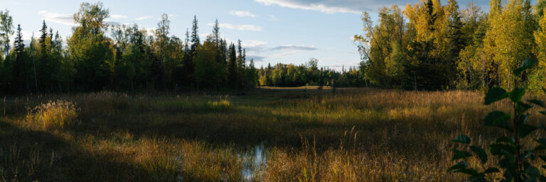
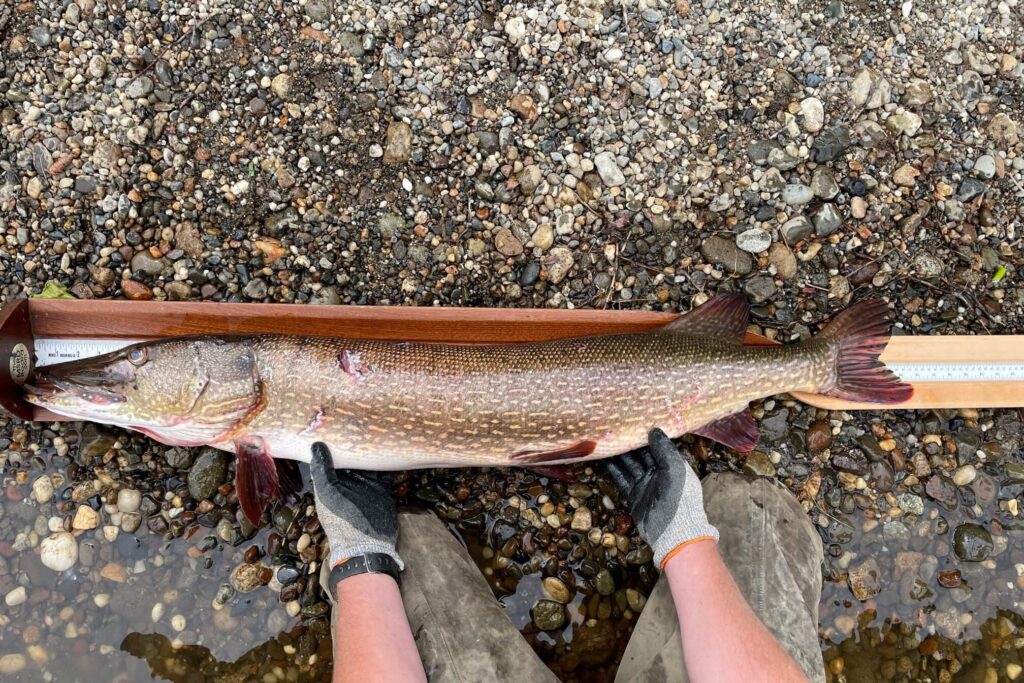
TTCD became the first Tribal Conservation District in Alaska and the 31st in the nation through a formal mutual agreement between the Native Village of Tyonek (NVT), Tyonek Native Corporation (TNC), and the USDA Natural Resources Conservation Service (NRCS).
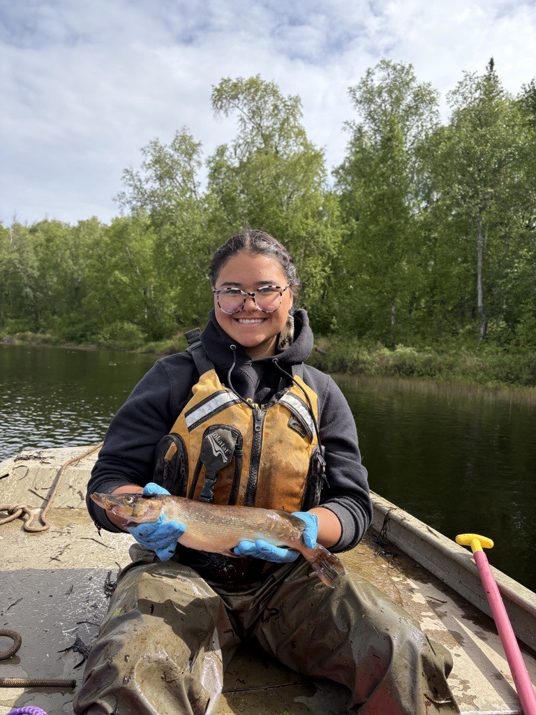
TTCD hired its first Natural Resource Technician in September 2011, establishing full-time on-the-ground operational capacity for natural resource inventorying, field assessments, and community programs.
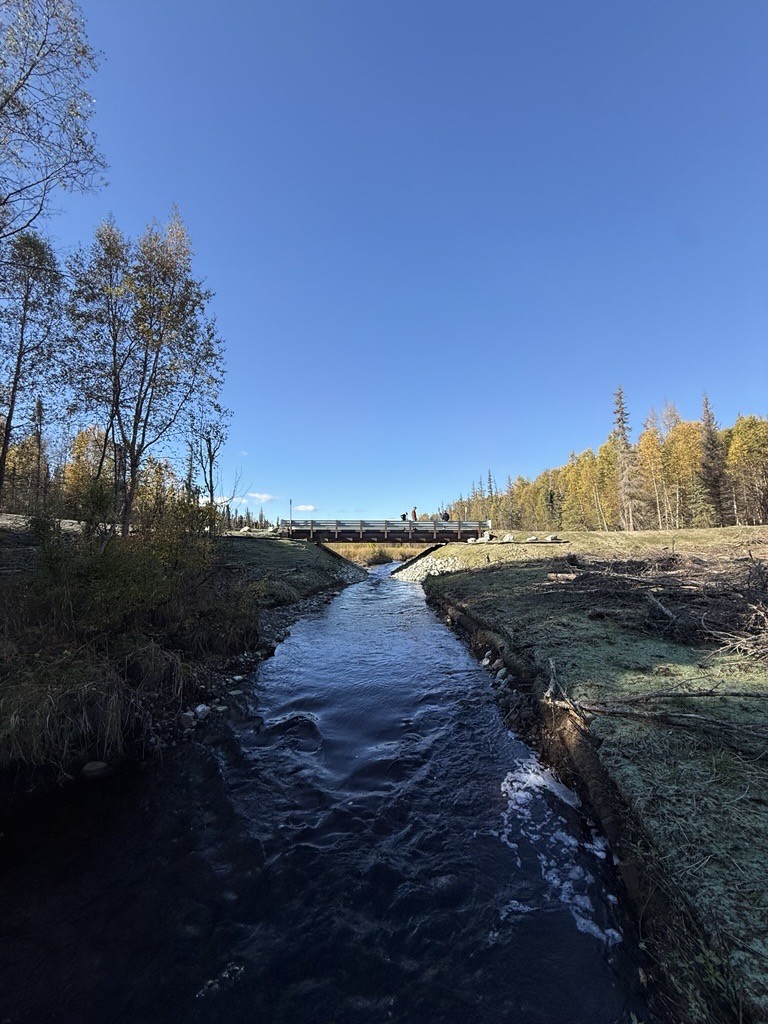
Replaced the District's first restrictive culvert on an industrial logging road, launching a long-term fish-passage program. TTCD's 2025 Annual Report documents 15 successful culvert replacements, 61.1 restored stream miles, and more than 590 acres of restored lake ecosystems.
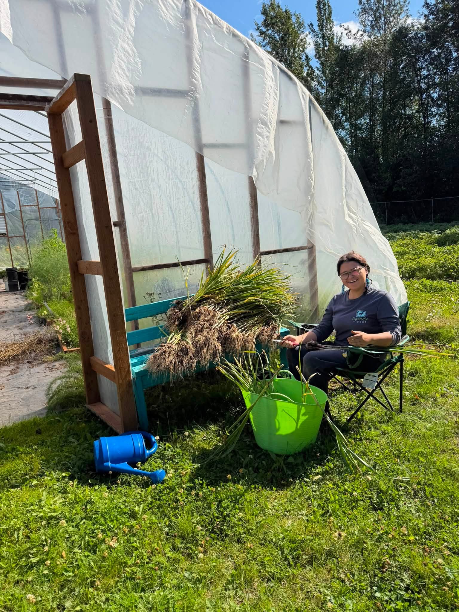
Partnered with the Native Village of Tyonek to establish the Tyonek Garden and Tyonek Grown program, strengthening local food production, agricultural education, youth employment, and community food access.
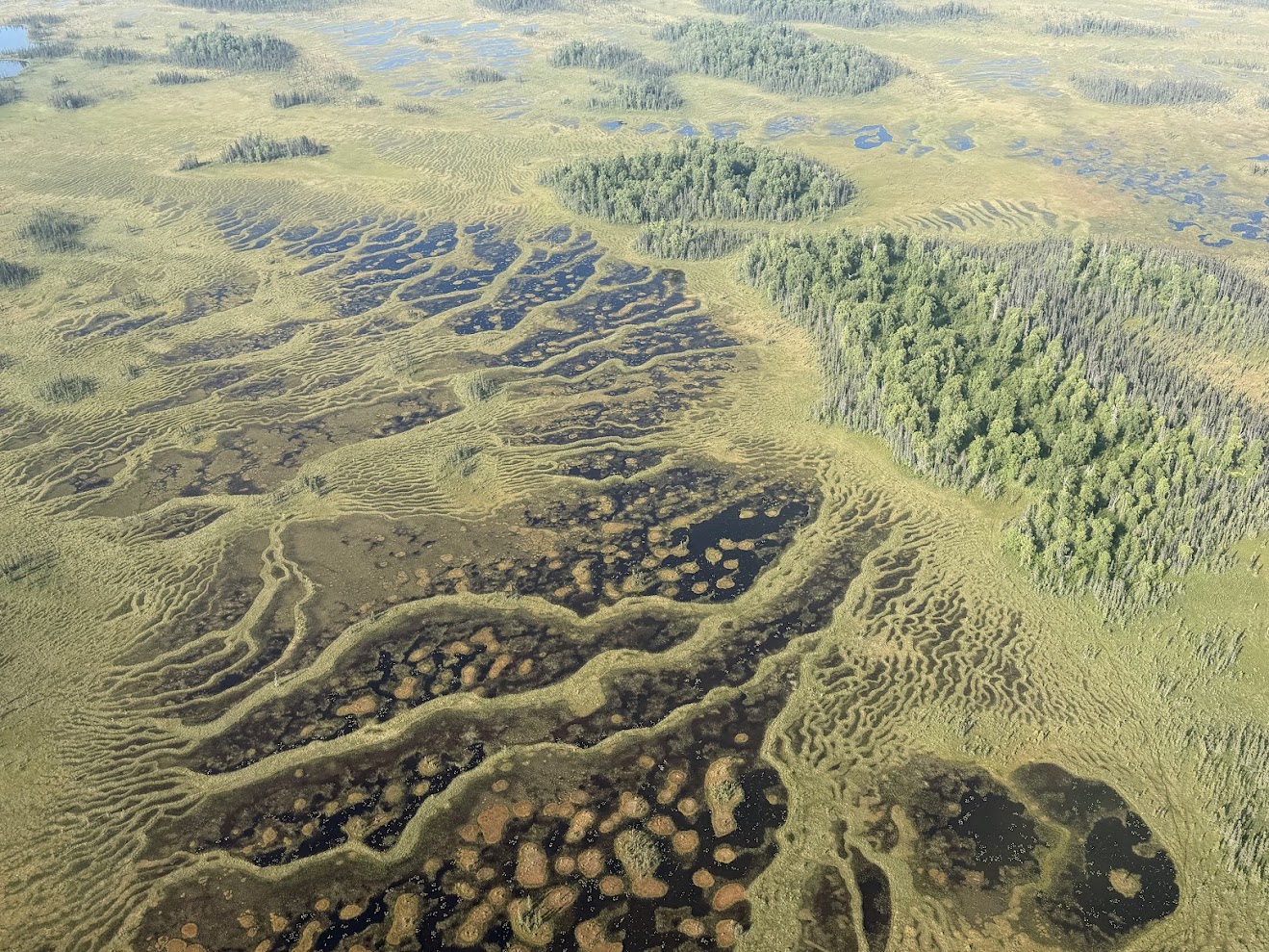
Partnered with the Native Village of Tyonek (NVT) IGAP department to craft a comprehensive environmental roadmap guiding tribal decision-making and prioritizing conservation projects across traditional lands.
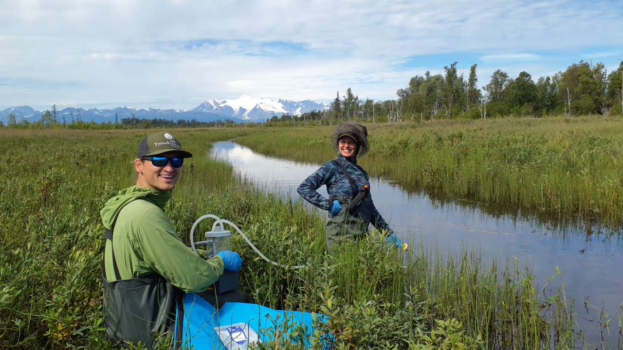
Expanded core leadership by hiring a full-time Conservation Project Manager and Program Assistant to oversee growing fish passage, invasive species, and food security grants.
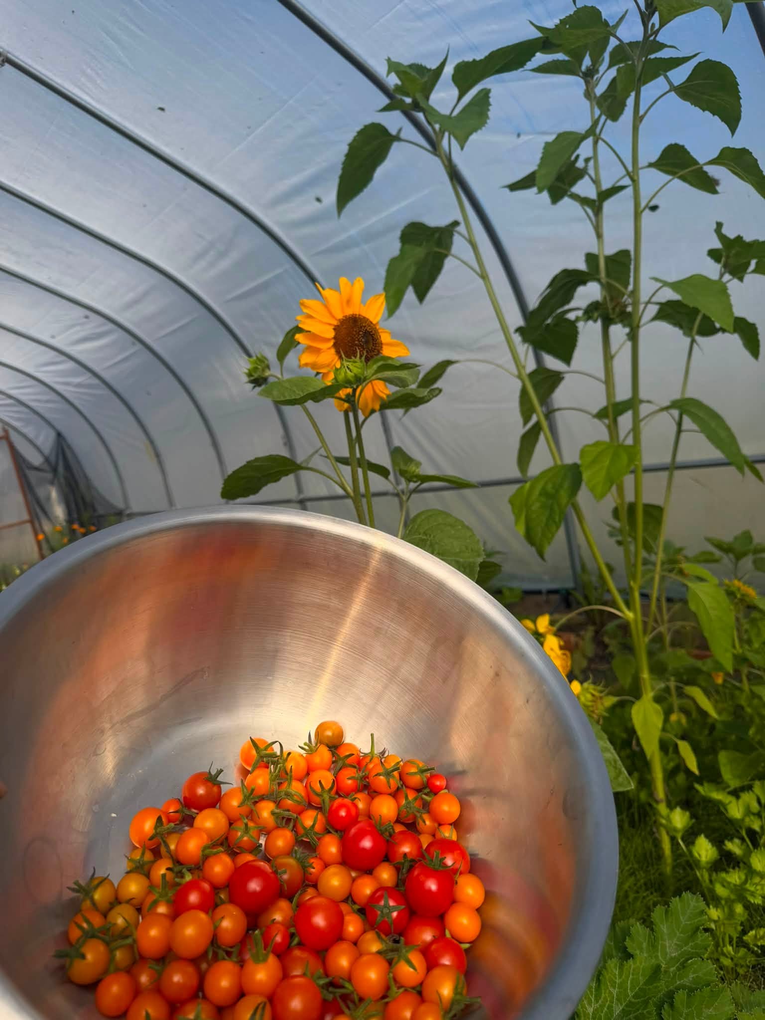
Expanded the Tyonek Garden with two USDA NRCS-funded high tunnels, an off-grid solar water pumping tower, and tool storage shed, tripling the village's vegetable growing season.
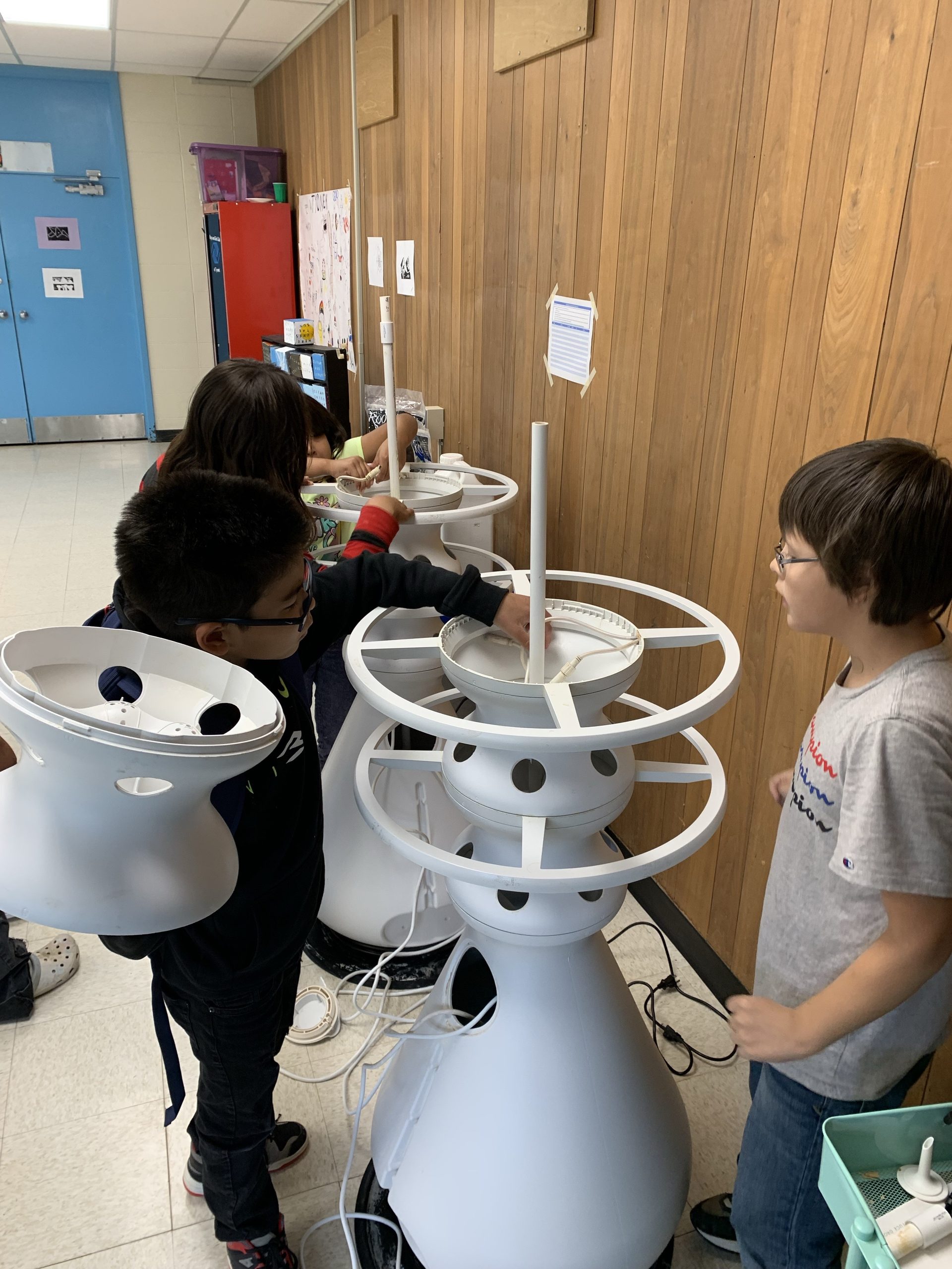
Launched place-based STEM programming with the Tebughna School. Integrated watershed ecology, plant anatomy, soil biology, and salmon lifecycle studies into K–12 classroom and field activities.
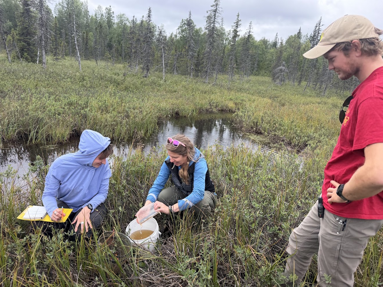
Published the foundational Watershed Action Plan in collaboration with regional landowners, ADF&G, and USFWS to prioritize stream connectivity, culvert engineering, and invasive plant eradication.
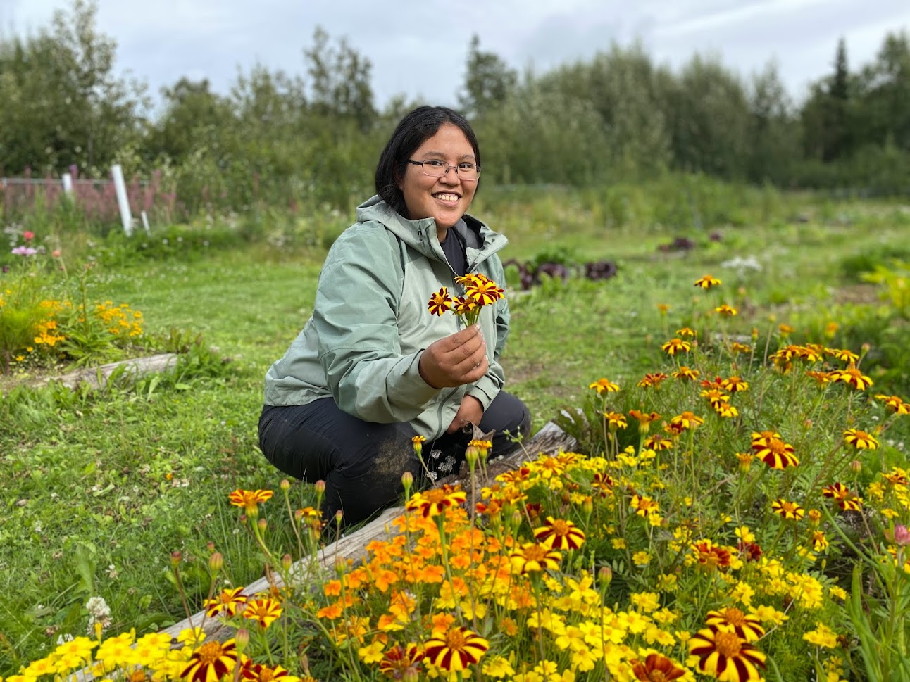
Underwent rigorous operational evaluations and business planning, establishing data tracking, harvest metrics, and weekly community farmers market distributions.
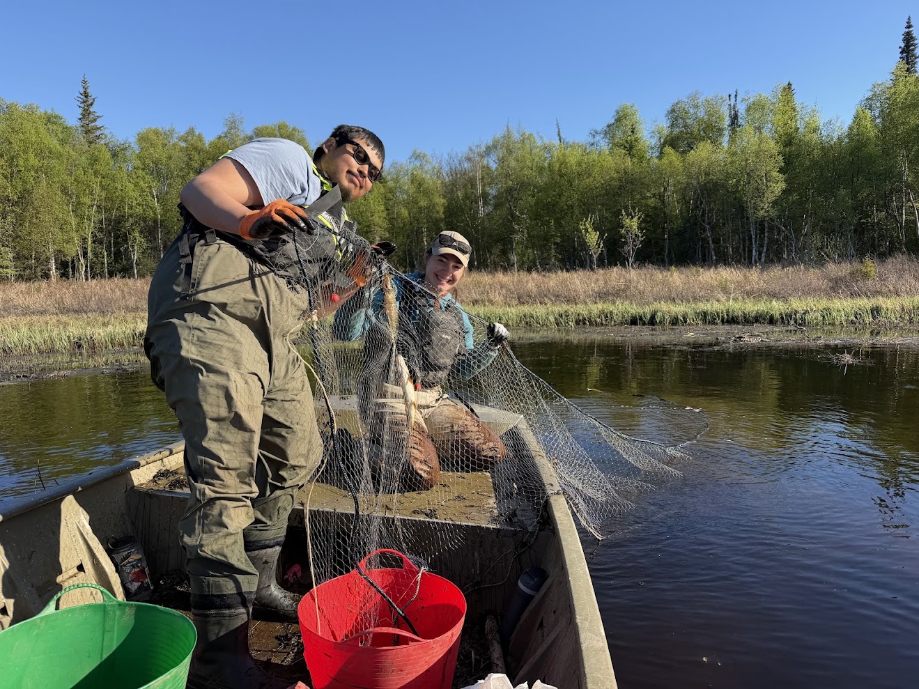
Formed the Invasive Pike Partnership with ADF&G and took the lead coordinating the Mat-Su Elodea Task Force across Alexander Lake and Sucker Lake to protect critical salmon rearing grounds.
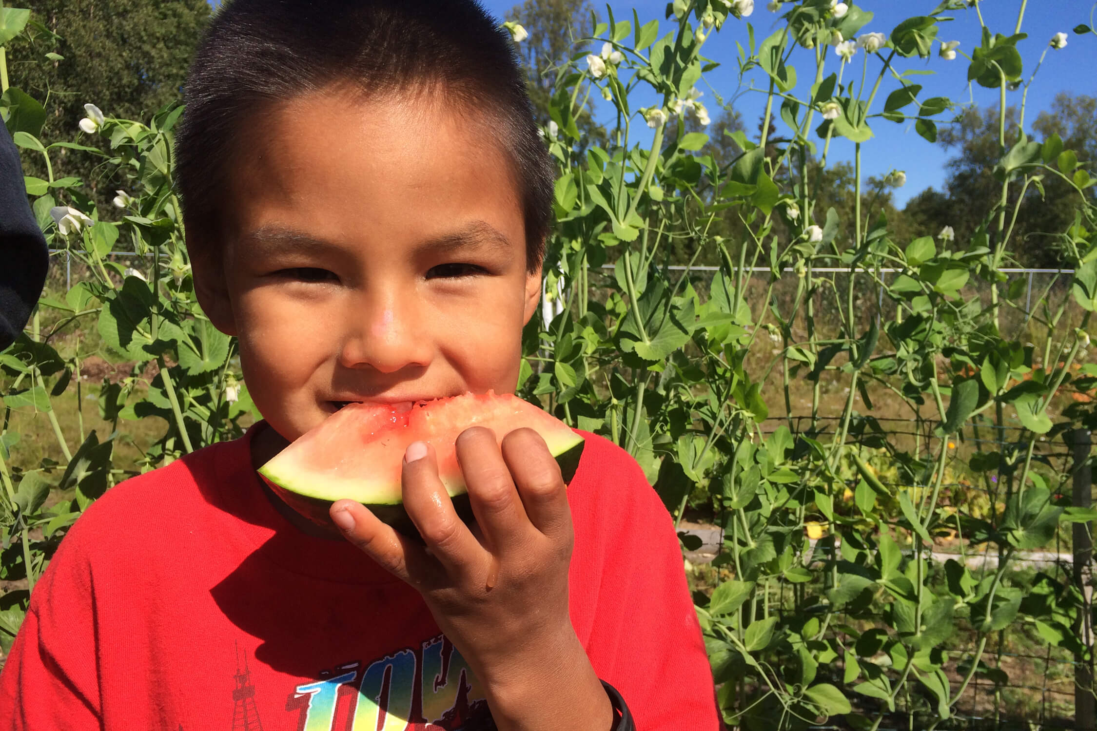
Overcame pandemic logistics and staffing challenges, keeping the community garden producing over 2,000 lbs of fresh food and reinforcing the vital role of local subsistence sovereignty.
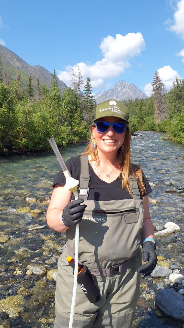
Hired new Executive Leadership and six full-time conservation specialists. Conducted a board strategic retreat to set long-range priorities for tribal stewardship through 2030.
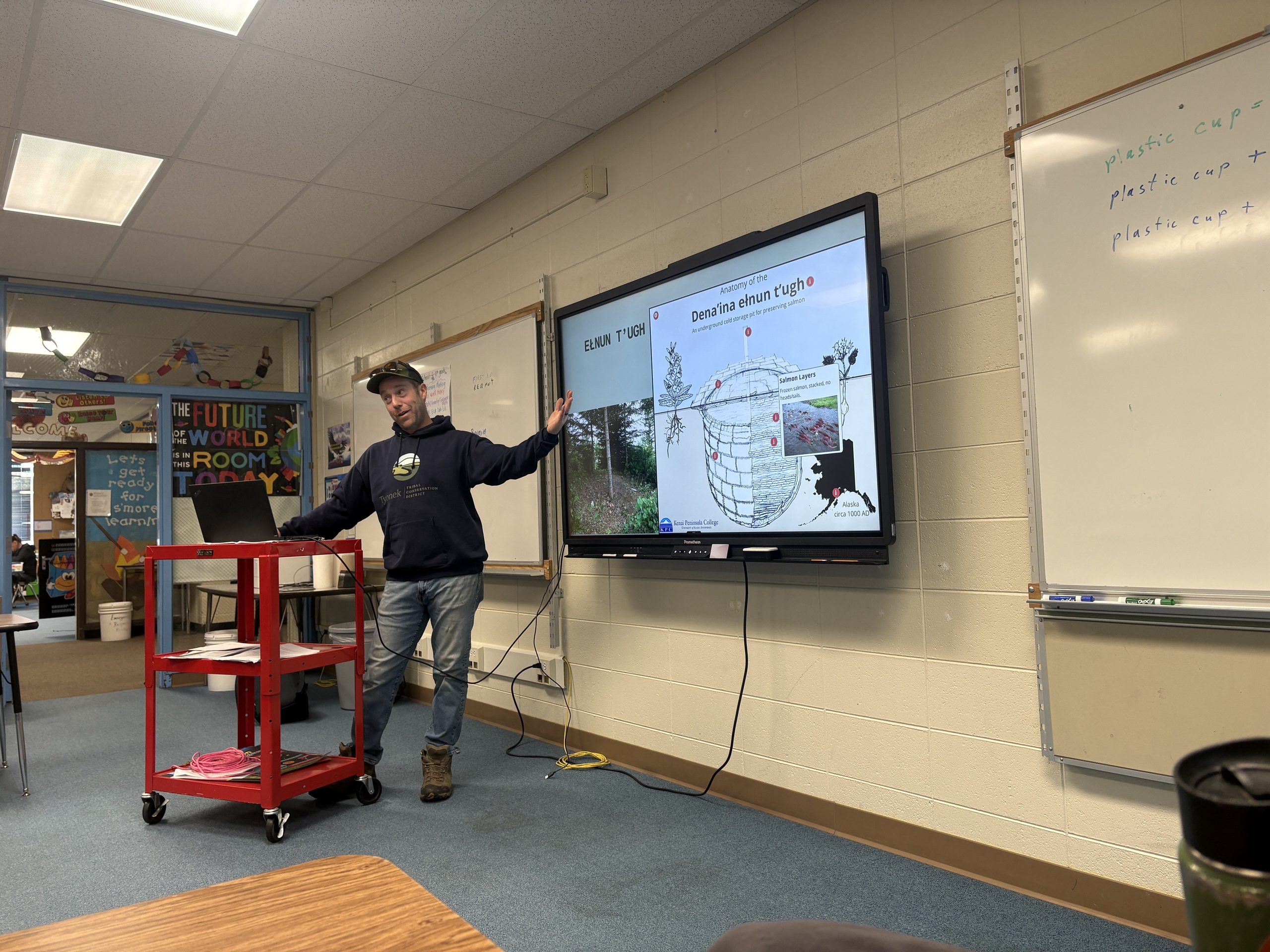
Advancing the Tyonek Coastal Resilience Plan, expanding food cold-storage facilities, collecting environmental DNA across West Cook Inlet, and hitting 15 culvert fish barriers restored.
Continuing sustainable resource conservation, indigenous food sovereignty, wild salmon watershed protections, and youth career pathways across traditional Dena’ina lands.
Get Involved With TTCD →